


Description
COMPATIBLE WITH LOWRANCE HDS LIVE, CARBON, HDS GEN 3, HDS GEN 2 & ELITE TI / FS UNITS
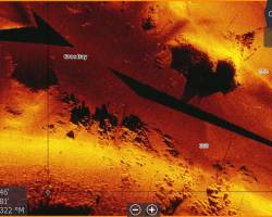
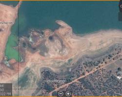
** Contour, Mosaic Ultra HF, Aerial HD & Elevation, Panoramic Imagery **
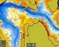
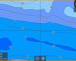
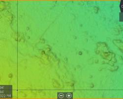
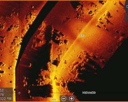
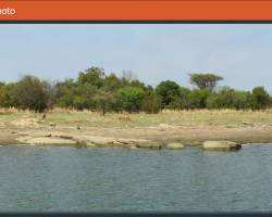
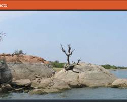
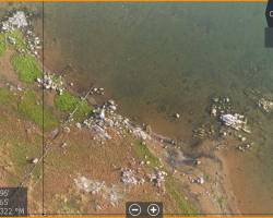
Roodekopjes Dam
Roodekopjes Dam was mapped in October 2017 when the dam was at around 80%. The chart consists of flying camera and water level georeferenced photos around the entire dam. It also has contours, satellite as well as UltraHF mosaics. Key areas were also recorded using a flying camera for AerialHD and 3D Elevation mosaics.